How Map Levels Work
The new Map Level functionality (aka Child Maps) differentiates Worldographer. It allows you to have three map levels which can cover your entire world with increasing levels of detail.
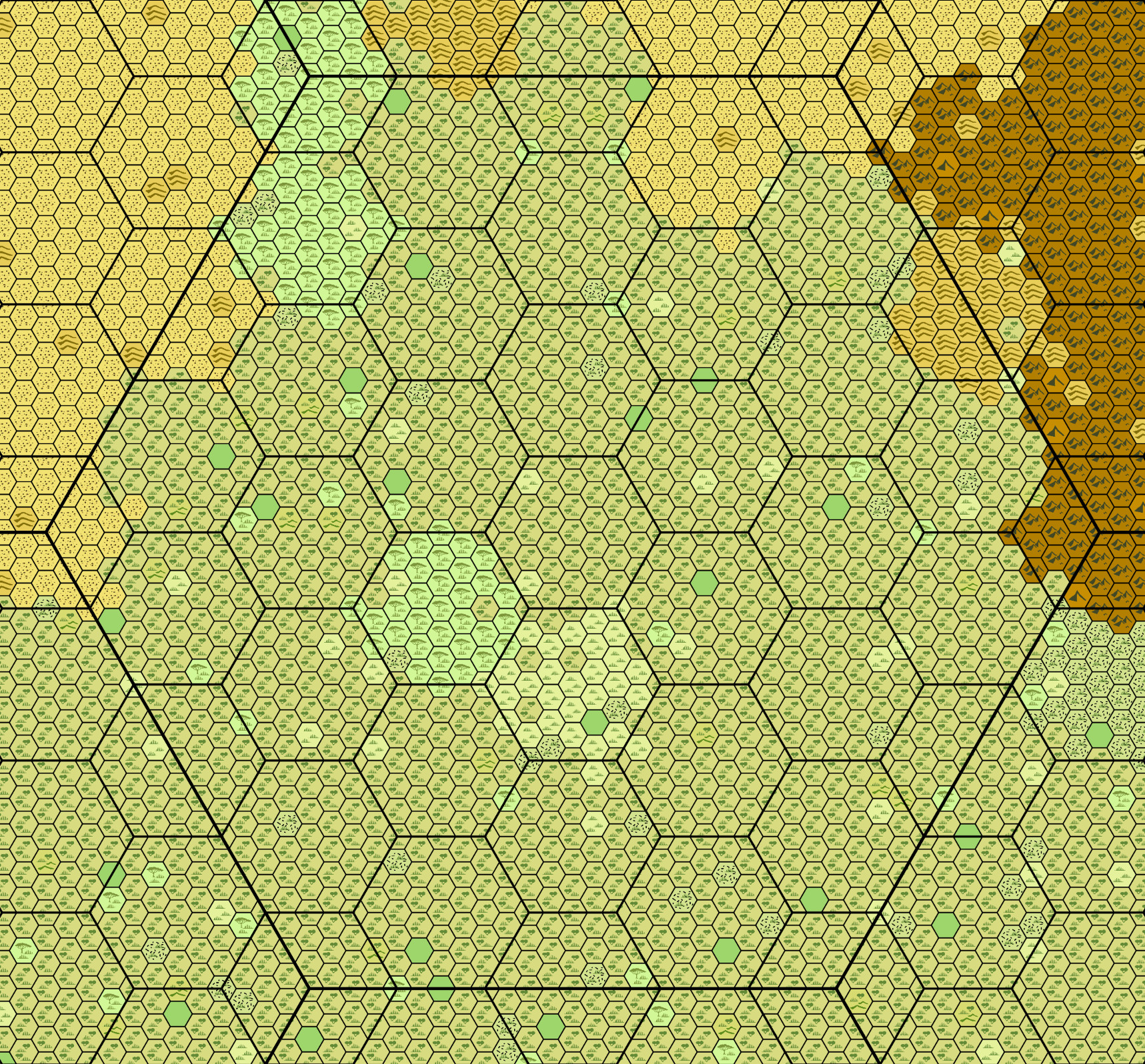
- World Level: Shows continents, oceans, major seas, large rivers, country borders, capitals, and major cities. Typically hexes represent 100+ miles each, although this can vary based on the world size and preference. (For details on setting up an Earth-sized world, see our starting a world map tutorial. You should be able to extrapolate from that example for larger or smaller worlds.)
- Continent Level: Shows some more detail. It is usually more effective to scale the hexes based on the World or Continent scales. If the kingdom map is 6 miles per hex, a scale of 36 miles (6 hexes) is a good choice. Or if the kingdom has 5 mile hexes, consider a 25 mile continent hex.
- Kingdom Level: Many people believe a good local map is 5 or 6 miles per hex. Pick which you prefer. Put all the features of note on this map level. In addition to the above: villages, small roads/trails, small rivers, perhaps streams, etc. would be on this map.
Set It Up So It Works For You
None of the above is gospel. You could treat your Kingdom level map as 1 mile hexes (making it more of a province map), then have a larger jump in scale between that and the continent level and/or world level. However, Worldographer can’t support a large world with a Kingdom map scale of 1 hex = 1 mile because of memory and load/save performance issues. We’ve optimized as much as possible, but at this time a 1 hex = 1 mile world could only work for a world with a circumference of about 5000 miles. (Perhaps 7000-8000 depending on your computer’s specs.)
Generating New Levels
To generate a new level, simply select it in the left sidebar. This switches you to the other level, but if the other level hasn’t been created it prompts you for the scale (ratio of how many new hexes per hex in the current map) and generate the new level.
With that out of the way, internally Worldographer stores the terrain for each map layer separately. Once it generates a new map level, a change to one hex in one layer will automatically update the terrain in the same location on the other levels if you have “Auto-update Other Map Levels” selected on the Options menu. However, if you make major changes to a map level, you may regenerate the other levels using the “(Re)Generate Map Level” menu item in the Tools menu.
Features, Labels, & Shapes
Features, Labels, and Shapes work differently. Shapes automatically adjust their size/location/points on the other map levels. (In fact they are only stored at the current view level, then their points are adjusted when you switch view levels.) Because Features and Labels may have slightly different sizes or locations at different view levels these do store separate locations for each view level. (This supports one map style which places features in the center of the hex. But on the more detailed maps you may want the feature to be centered in the hex that is closer to the actual location. Likewise a label or feature may need to be enlarged at the smaller scale.)
By default, features and labels auto-update their location on other levels if you move them on one level. To change this, uncheck the “Auto-update Other Map Levels” on the options menu. If unchecked and you want to have a single feature or label update on the other levels, uncheck and recheck those other levels’ view checkboxes (right sidebar) when you have the label/feature selected.